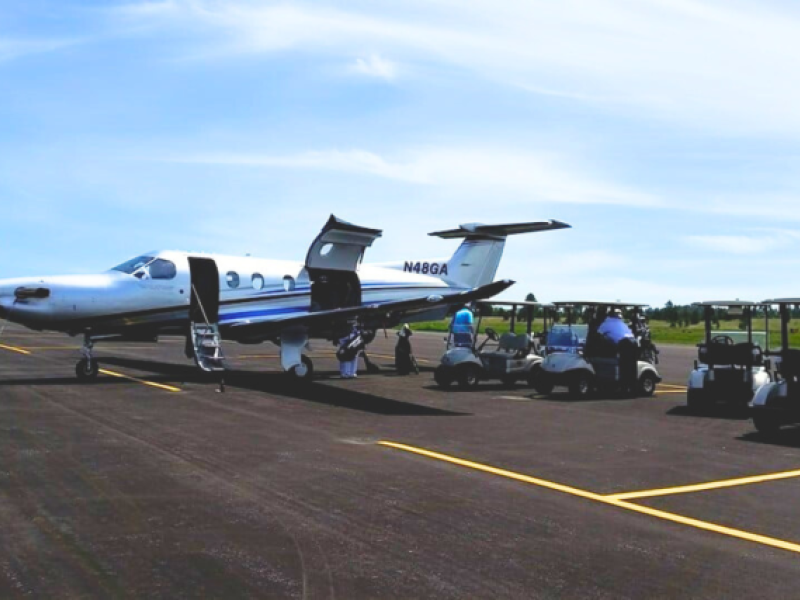
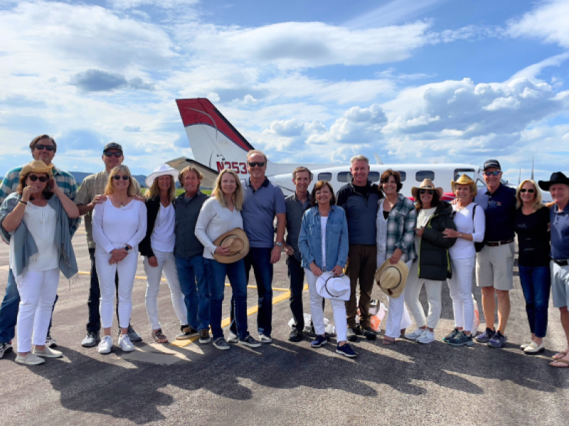
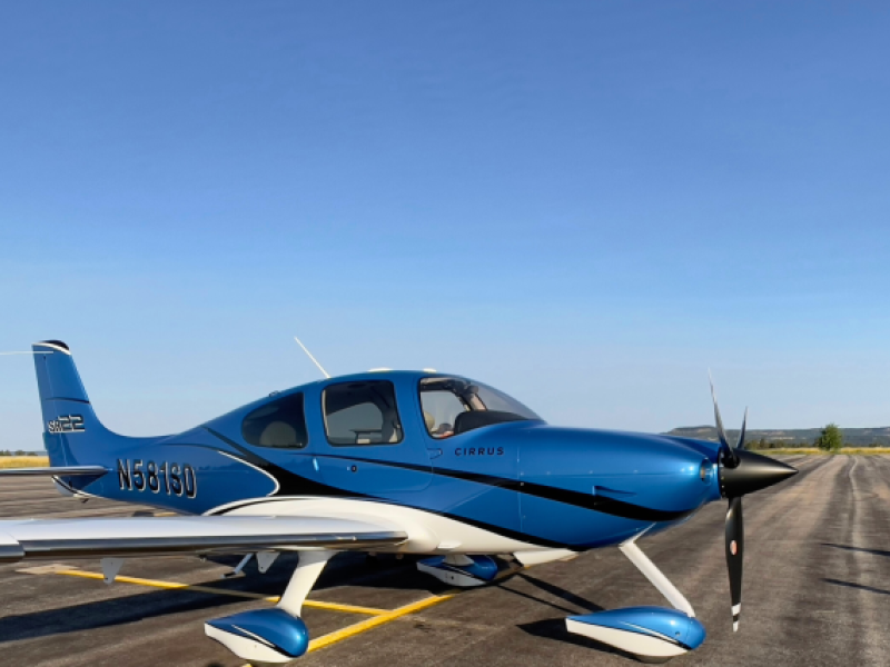
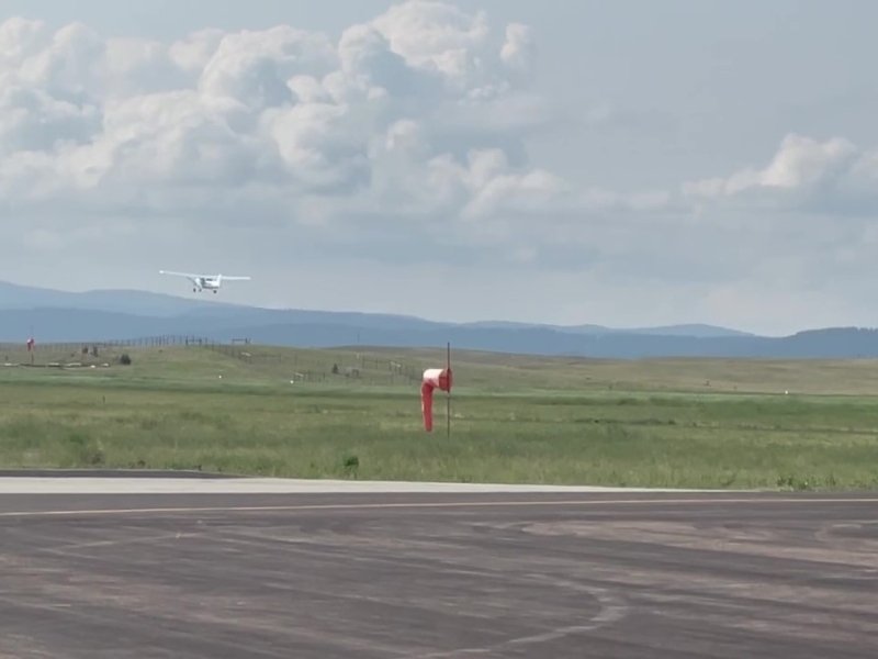
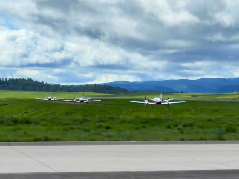
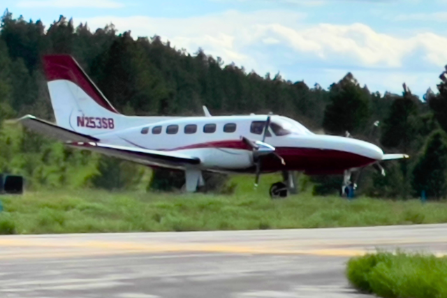
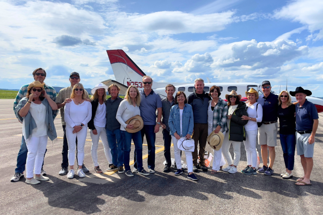
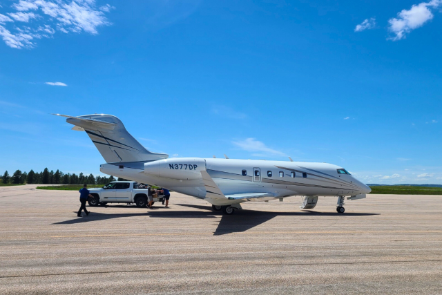
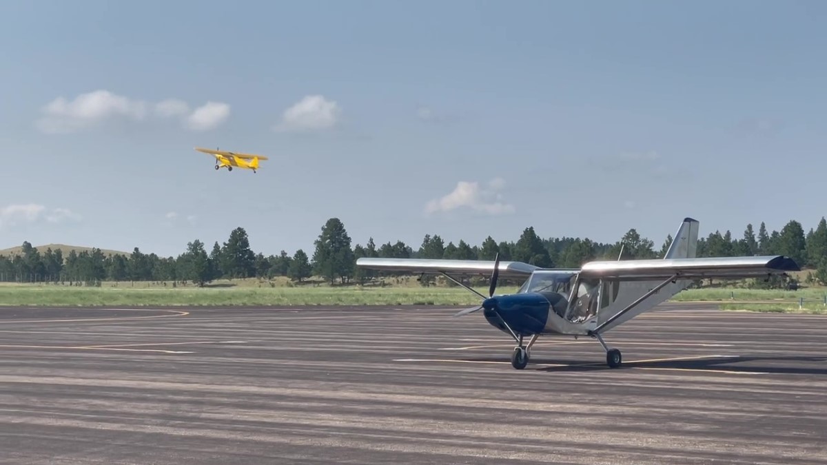
Hulett Airport
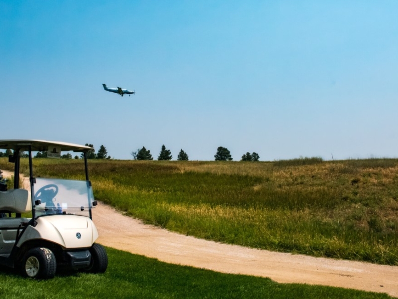
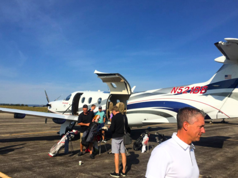
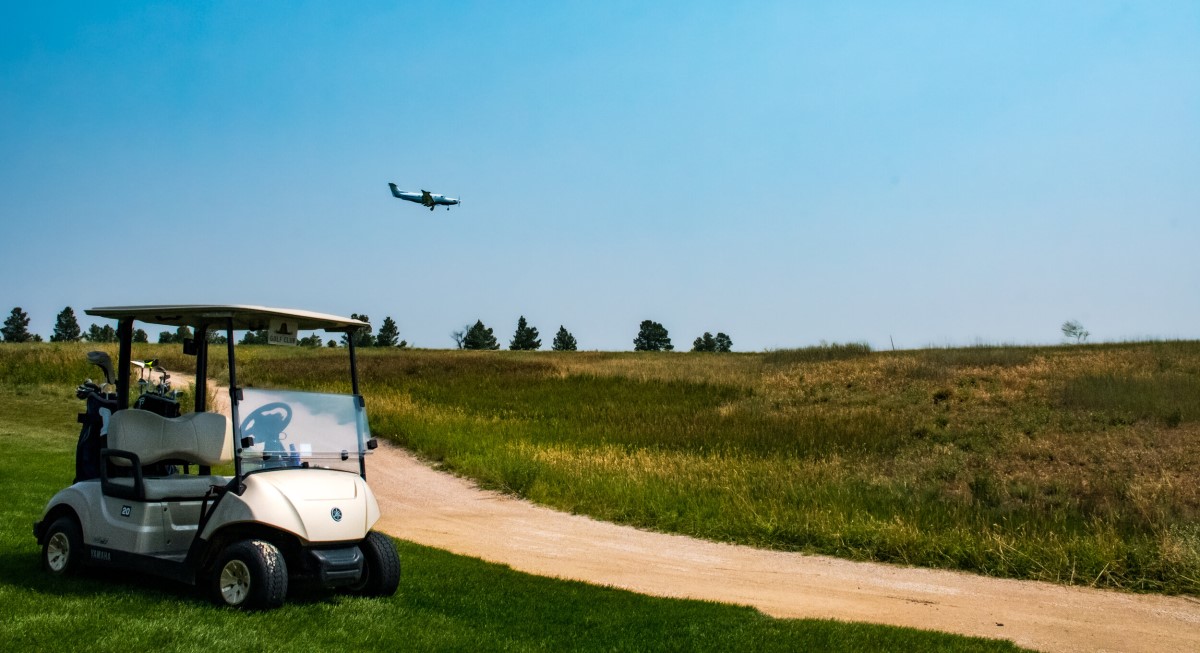
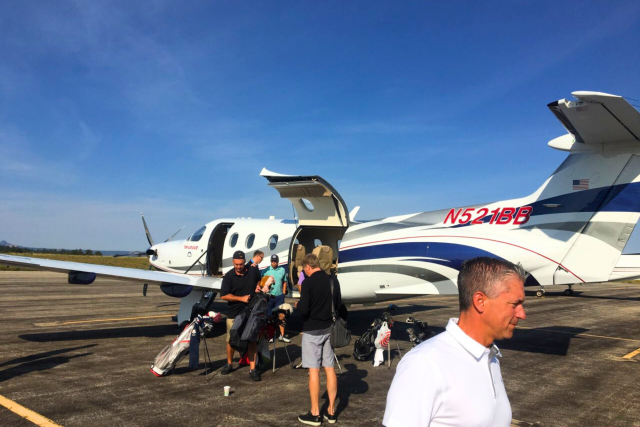
Go from Tarmac to Tee in 10 Minutes
Experience the ultimate convenience at The Golf Club at Devils Tower: Go from Tarmac to Tee in just 10 Minutes! Our premier golfing destination is uniquely complemented by the top-notch Hulett airfield, perfectly situated within our community, allowing you to effortlessly transition from your flight to the first tee.
This seamless connectivity ensures that you can maximize your time enjoying our pristine golf course, without the usual travel delays. Upon landing, take advantage of the shuttle service provided by our attentive club staff, transporting members directly to the clubhouse for an unparalleled golfing experience.
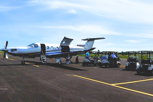
Hangar Rental: With dimensions of 64 ft wide by 58 ft deep, and a door measuring 16 ft tall and 60 ft wide, our hangar provides ample space for your aircraft. Additionally, we offer an Airtug Model 10-H with Hydraulic lift for convenient transportation in and out of the hangar. $99/night +tax. Contact us today for availability! 307-467-5773


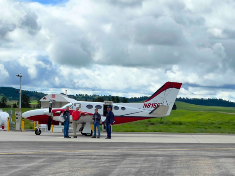
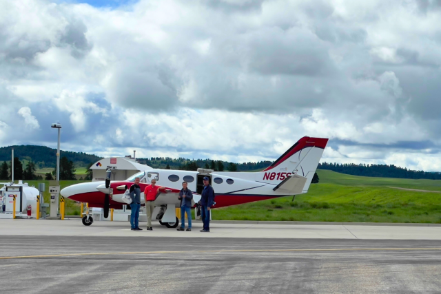
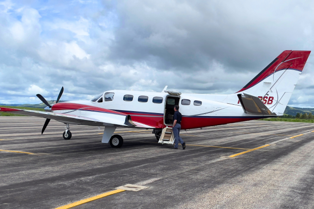
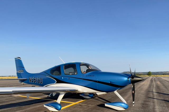
Fueling Options: Avgas and Jet Fuel available
For Shuttle Service: Members can easily request a shuttle to the clubhouse by contacting us at (307) 467-5773. Our team is dedicated to providing a smooth and enjoyable visit from the moment you land.
For public shuttles you may contact: RIDE Hulett
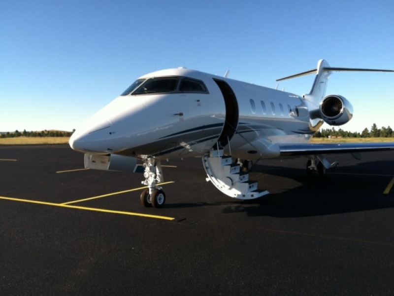
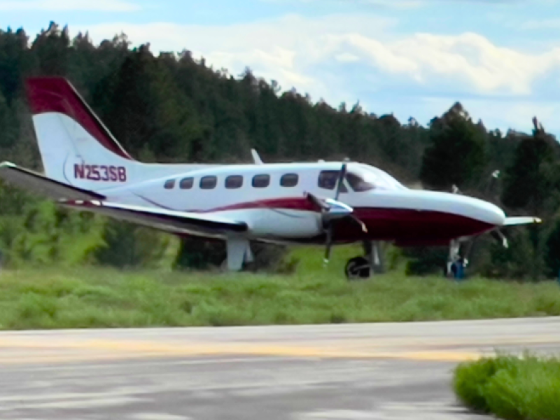
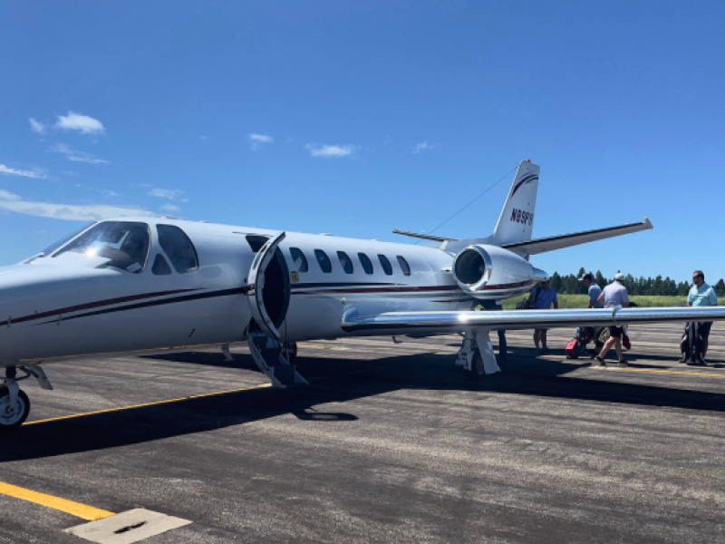
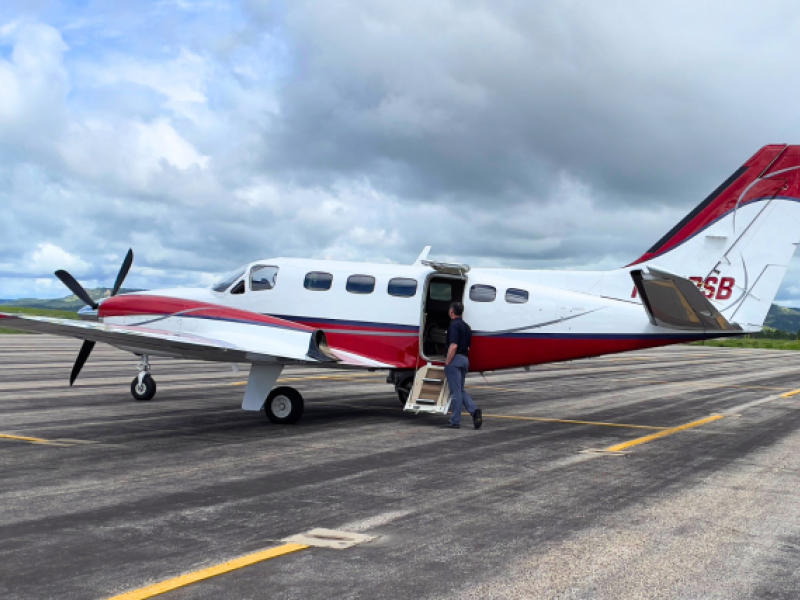
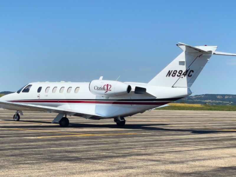
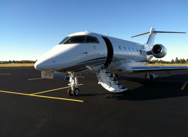
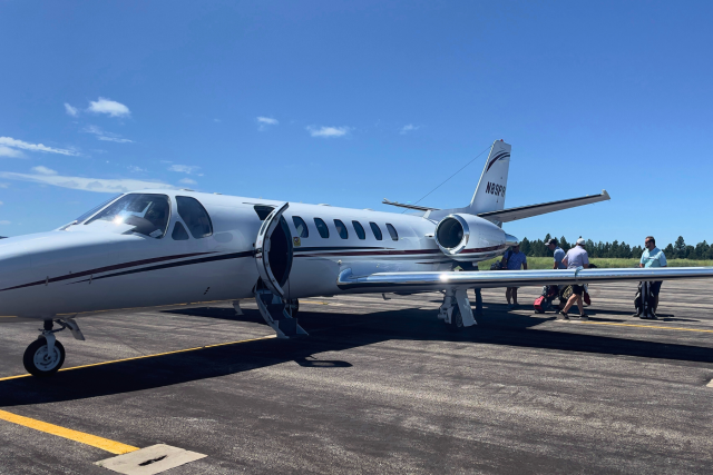
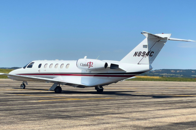
Ask about charter jet services available through our partners M & N Aviation and RFS Aviation.
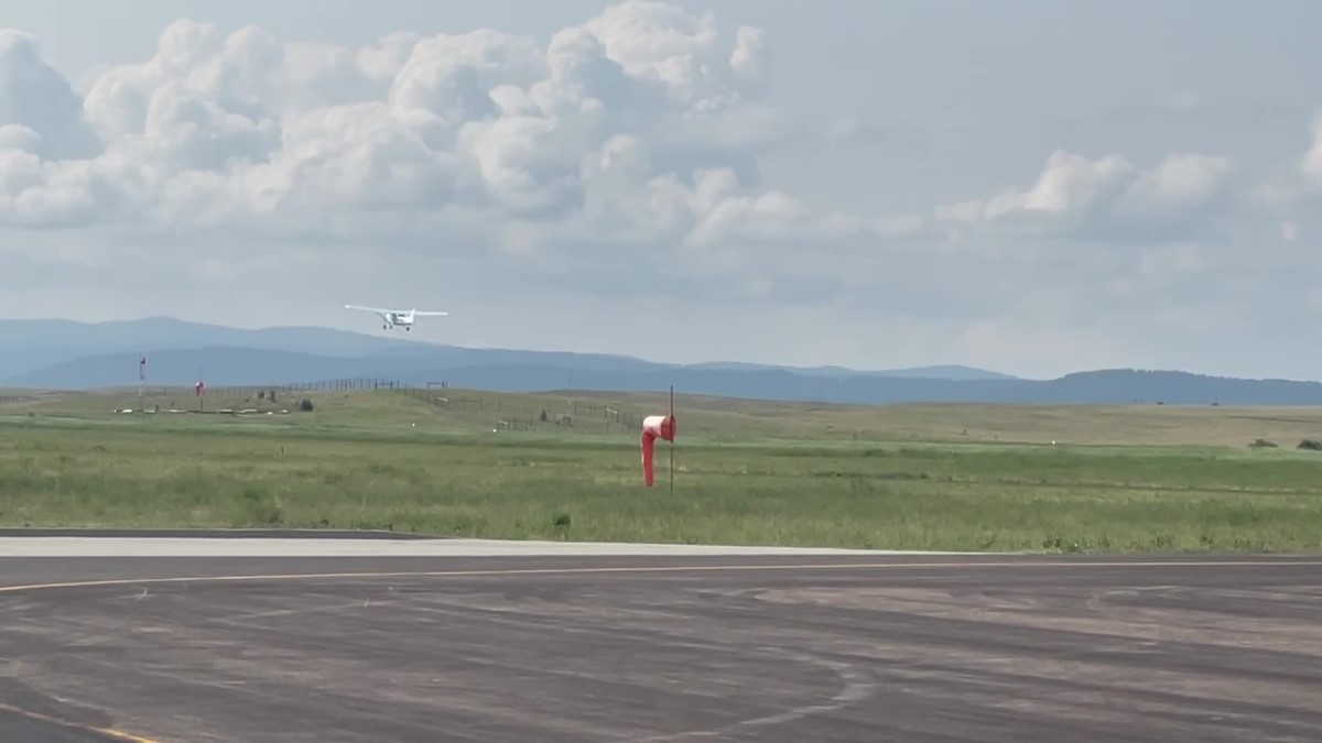
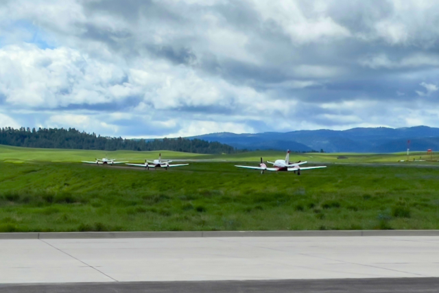
HULETT AIRPORT OPERATIONS
- FAA Identifier: W43
- Airport Use: Open to the Public
- Activation Date: 09/2003
- Sectional Chart: Billings
- Control Tower: No
- ARTCC: Denver Center
- FSS: Casper Flight Service Station
- Attendance: UNATNDD
- Wind Indicator: Lighted
- Segmented Circle: Yes
- Lights: Dusk-Dawn
- ACTVT MIRL RY 13/31 & REIL RYS 13 & 31 CTAF. PAPI RYS 13 & 31 OPER 24 HRS.
- Beacon: White-Green (lighted land airport)
- Pavement Strength, Weight bearing capacity: Single Wheel: 12.5
- GPS Approach
| INDEX | RUNWAY 13 | RUNWAY 31 |
| Latitude: | 44-40.128833N | 44-39.414667N |
| Longitude: | 104-34.458667W | 104-33.679833W |
| Elevation: | 4194.9 ft. | 4263.8 ft. |
| Gradient: | 1.3% UP | 1.3% DOWN |
| Traffic pattern: | left | right |
| Markings: | nonprecision, in fair condition | nonprecision, in fair condition |
| Visual slope: | 2-light PAPI on left (4.00 degrees glide path) |
2-light PAPI on left (4.00 degrees glide path) |
| Runway end identifier lights: | yes | yes |
| Touchdown point | yes, no lights | yes, no lights |
| Obstructions: | none | 165 ft. hill, 3900 ft. from runway, 425 ft. right of center |
For more Hulett airfield details, please visit: http://www.airnav.com/airport/w43 or call (307) 467-5771.
→ Click Image to Open • Use Arrows to Scroll ←


